|
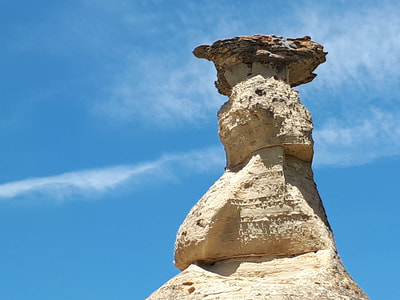
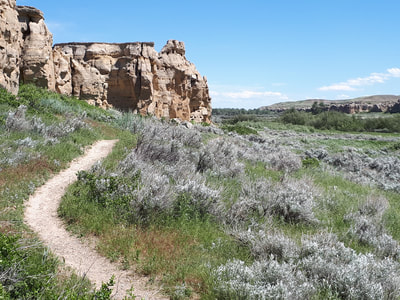
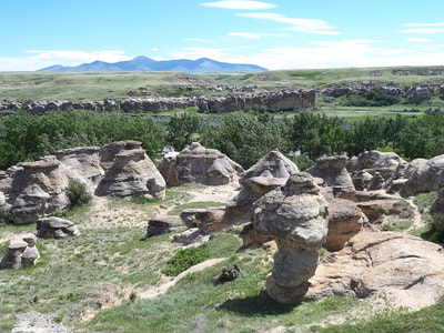
Writing-on-Stone / Áísínai'pi Provincial Park, Alberta It was a lively, lovely, windy day at Writing-on-Stone. We set out on the trail through the hoodoos, sometimes walking, sometimes climbing, sometimes sliding down rocks on our behinds. The sandstone rock formations are stunning, and so much fun to walk among. At the end of the trail there’s a cliff covered in petroglyphs that depict battle scenes, thought to be Blackfoot from the 19th century. From there we walked right down to the shore of the Milk River and sat for a while, watching a group of canoes and kayaks come down the river, watching the river flow continually to the east, the wind relentless but cheerful. Walking back, it’s impossible to find the same pathways through the hoodoos, not that you would want to as getting lost is part of the fun of walking among these rock giants. Location: Hoodoo trail, Writing-on-stone Provincial Park
Length: 4 km Companions: Annie, Troy Date: 4 June, 2018
0 Comments
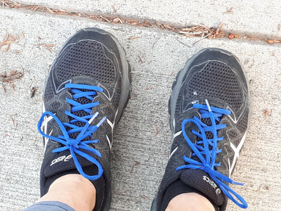
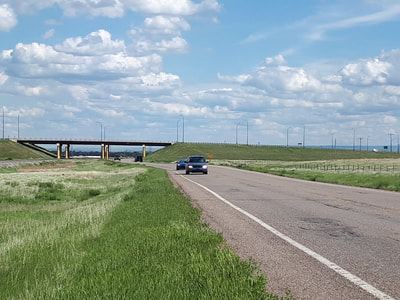
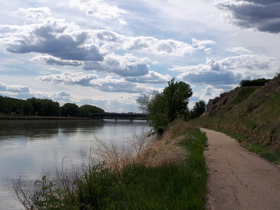
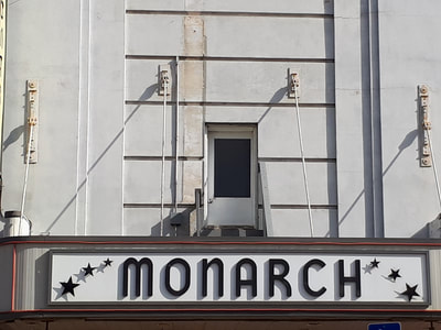
Redcliff to Medicine Hat, Alberta Starting anywhere in Redcliff, it's only a few blocks to the edge of town: past the old IXL brick plant, along a sidewalk that dead-ends at a fence and a swath of prairie. I cut across the prairie, cutting a diagonal toward Highway 1, the Trans-Canada Highway. Grass, cactus, grass, sage, grass. The parallel lines of highway, service road, train tracks, power lines, fence – I would have to cross all of these. I got to the service road, Sammis Drive, and walked along the narrow shoulder. The road drops steeply into a tangled ditch, and the traffic at 80km/h seemed too close. Sometimes I moved farther off the road, but the slope was tricky. I realized that of all the hikes I could do, this kind of walking is actually the most life-threatening. Eventually I had to walk under an overpass where the Trans-Canada crosses Sammis Drive. Here, the road narrowed, there was no shoulder, and the guardrail gave directly onto a steep and slippery bank down. I deliberated this as I approached, trying to decide if it was safer to make a dash for it when there was a break in traffic, or walk on the embankment. There was no way to tell when traffic would be coming around the bend ahead, so I climbed down the embankment and walked on the trash-covered angle until I reached the other side. It is so obvious in places like this that our world is not designed for walking. In fact, it seems to be designed to discourage walking, making it unpleasant or dangerous, and on some routes, impossible. As I continued along the shoulder of the road, tensing with each passing vehicle, I noticed several red- and yellow-winged blackbirds along this stretch. Finally I turned onto a quieter road, which led down the hill into the calm Riverside neighbourhood on a paved foot and bike path. From there on in it was a pleasant walk, through the neighbourhood, along the South Saskatchewan River, and across the river on the Finlay Bridge. City hall on my right, a wedding party taking photographs on my left, I stepped off the bridge into downtown Medicine Hat. Hoping for a coffee, I turned left on 2nd St., but was disappointed that Station had already closed for the day. Past the old Monarch movie theatre, the Greyhound station, the last few blocks to the Esplanade Museum & Art Gallery, and the end of my walk. Location: Redcliff to Medicine Hat, Alberta
Length: 11 km Companion: none Date: 2 June, 2018 |
Author Sandra Cowan likes to walk on trails, paths, and city streets. She is based in southern Alberta, Canada, a visitor in the land of the Siksikaitsitapi (Blackfoot Confederacy). Collaborations with Lethbridge Walking arts collective here: lethbridgewalking.weebly.com Archives
January 2024
|
 RSS Feed
